King Tides Home | King Tides Photo Gallery | About King Tides | Educator Resources
Statewide: November 24-26, 2026, December 23-25, 2026, & January 21-22, 2027
Northern California locations may also include: December 22, January 20, and/or January 23
Check the tide map for your local dates and times.
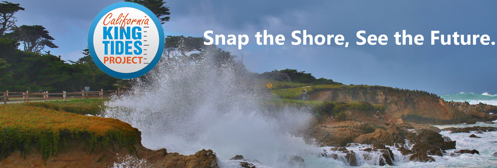
We need your photos of the King Tides! Start by choosing where you want to go and then look at the tide map below to find the days, times, and heights of king tides at that location. Your photos will be displayed on an interactive map.
* LEARN HOW TO UPLOAD YOUR KING TIDES PHOTOS *
The most important thing to remember is to be safe! Take care on slippery areas and stay back from big waves. Pay attention to your surroundings and the weather conditions. Don't turn your back on the ocean! Please be aware that shore birds and other animals may be taking refuge in areas above the tide line - don't flush them out in the process of getting your shot.
Some of the most powerful images are taken in areas subject to flooding and erosion, and places where high water levels can be understood next to landmarks such as cliffs, rocks, roads, buildings, bridge supports, sea walls, staircases, and piers.
In addition to uploading your photos, you can also share them on social media using #kingtides. We'll be liking and sharing your posts throughout the King Tides season.
Download a How to Participate flyer to share the project with others.
We held a webinar on December 2, 2025 to walk through how to participate in the project, including tips on how to take a great king tides photo. View a video of the presentation.
Join #KingTides on social media:
![]()
![]()
![]()
Tide Map
Choose where you want to photograph and then find the nearest pin on
on the map below. That will tell you what time high tide will be, and you should take your photo as
near to that time as you can, ideally within a half hour. (We're looking for photos in any California
location influenced by the tides; you aren't
limited to the locations pinned on this map.) If you have trouble
viewing the map on this webpage, open it in a separate window. You can also check NOAA's Tides & Currents webpage directly to find additional tide information.
Depending on location, some of the King Tide dates may be significantly higher than others. Try to take your photographs on the day of your location's highest tide, if you're able. Storm swells may increase water height, so it's helpful to check swell forecasts. Focusing on our designated King Tides dates allows us to create a "snapshot" of the whole coast on the highest predicted water levels of the year.
You can upload photos using either a web browser or with the Survey123 app. Please email kingtides@coastal.ca.gov if you have trouble uploading your photos.
To upload photos using a web browser:
To use the app:
You can download a PDF of the instructions below, including
screenshots of the app.
To Use the App Offline: